Framing Order in Disorder
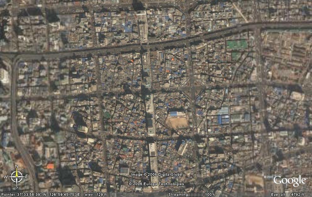
Cheonggyecheon, Seoul, S. Korea
As I think of the example of using framing to impose an order upon something in disorder, I'm reminded of this aerial photo of Cheonggyecheon, Seoul, S. Korea. The orthogonal roads have framed each parcel of land, where within the parcel exists many little houses, businesses packed in a tightly-knit organic fashion. Such a phenomenon is not uncommon in old cities. Is this then the example in framing of disorder, viewed from the aerial perspective of the city? Certainly, this is not the only way of understanding or experiencing our city. Are there other ways or perspectives of viewing our city which reveal order in disorder?
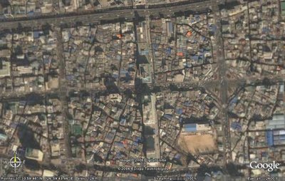 Cheonggyecheon, Seoul, S. Korea - closer view
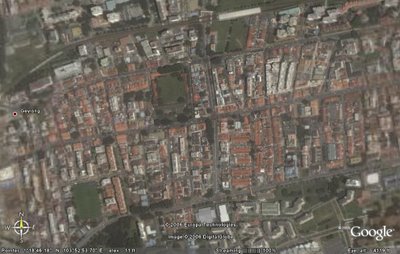 Geylang, Singapore
In contrast, the aerial photo of Geylang, Singapore, reveals strict ordering principles throughout the parcels of land.
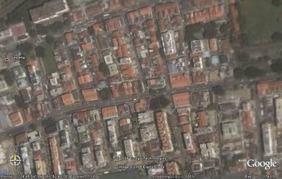 Geylang, Singapore - closer view
(Aerial photos obtained through Google Earth.)
posted by jiaxian at 2:01 am
3 comments
![]()
